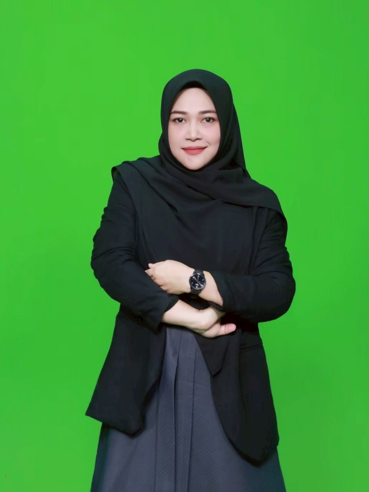
"Dr.Rusnee Susaro"
Visual arts : 2D, 3D
PSU , Prince of Songkla University
Thailand
"Dr.Rusnee Susaro"
Visual arts : 2D, 3D
PSU , Prince of Songkla University
Thailand
CREATIVE WORK
"The golden region"
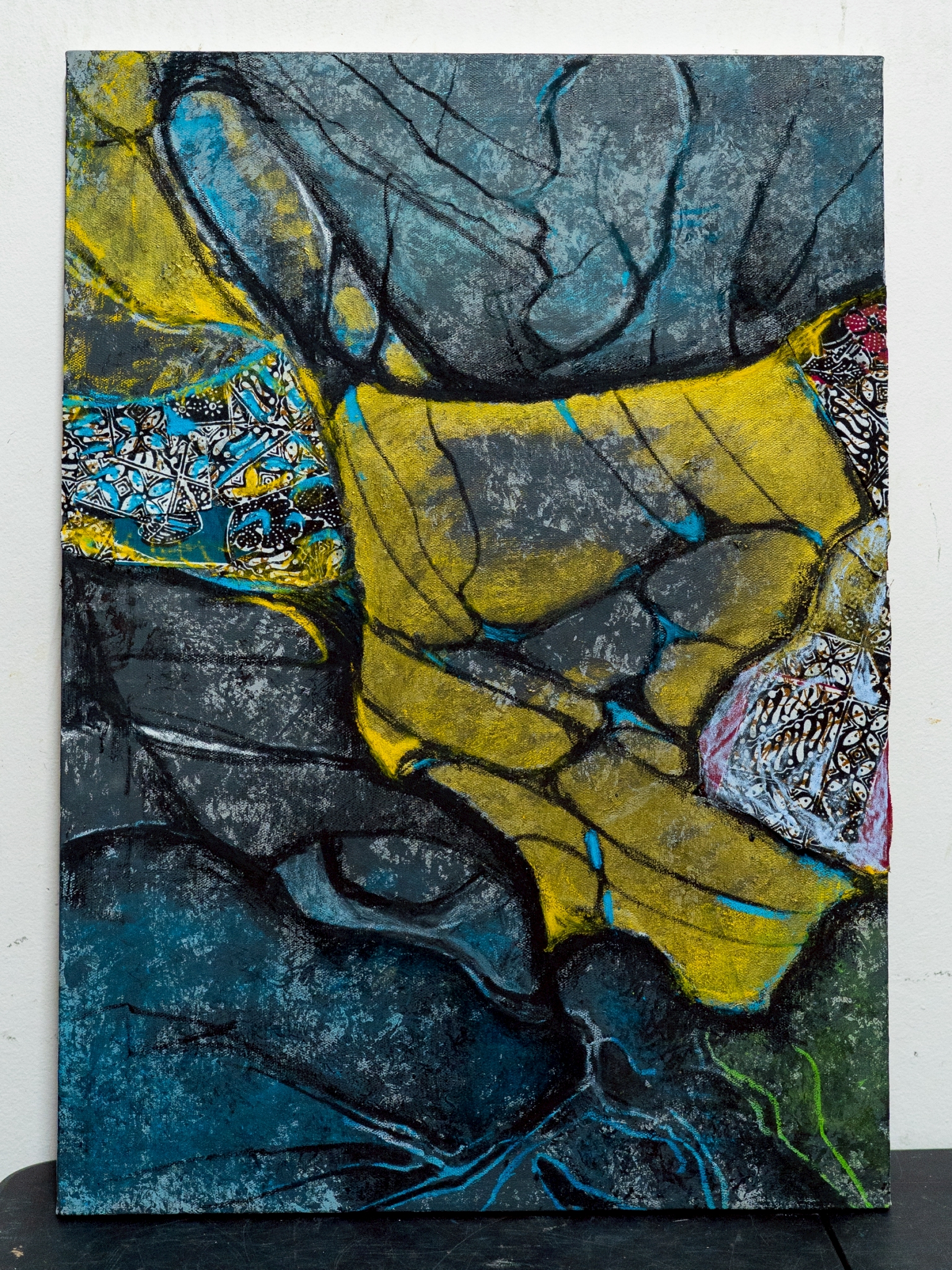
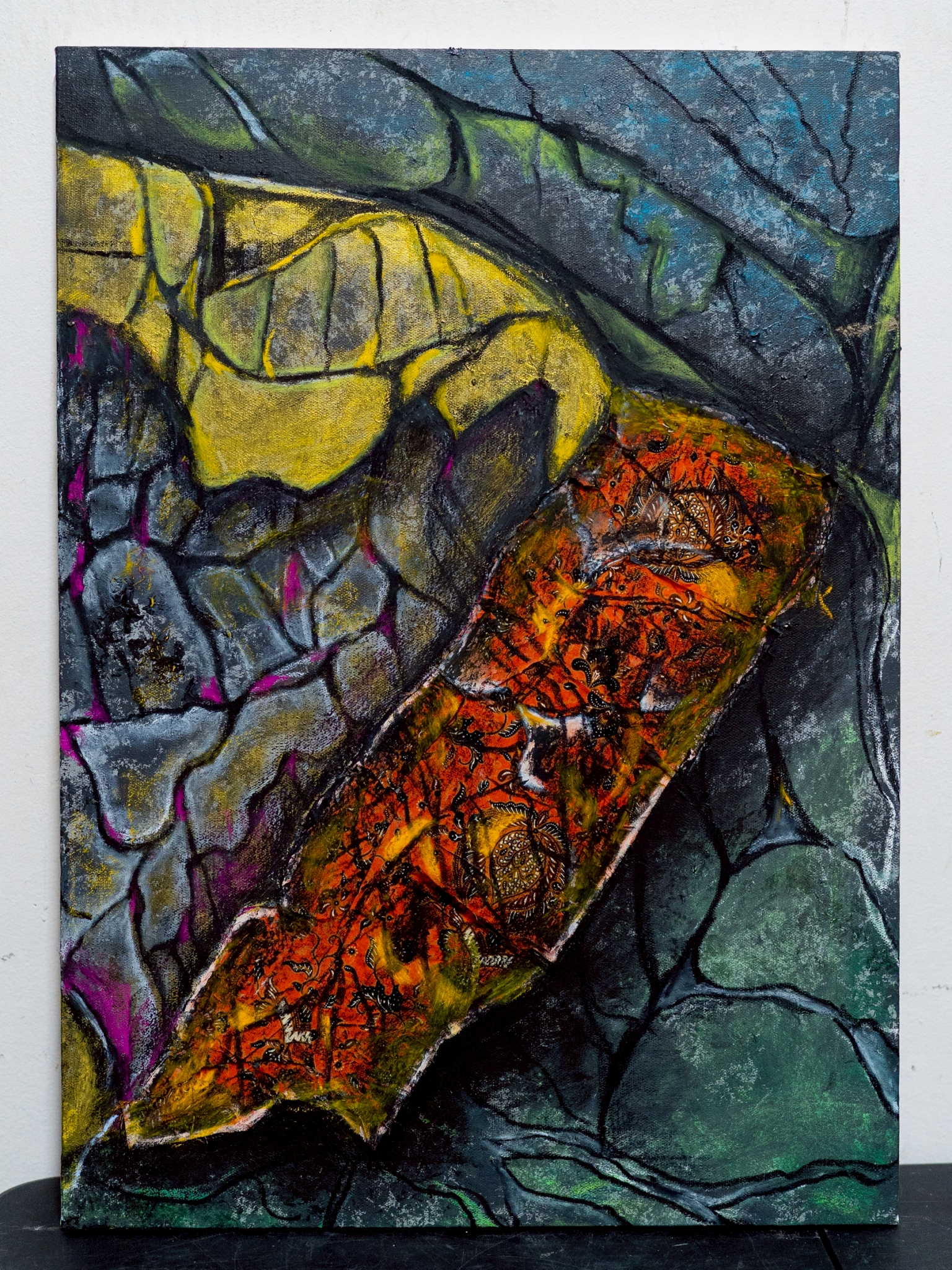
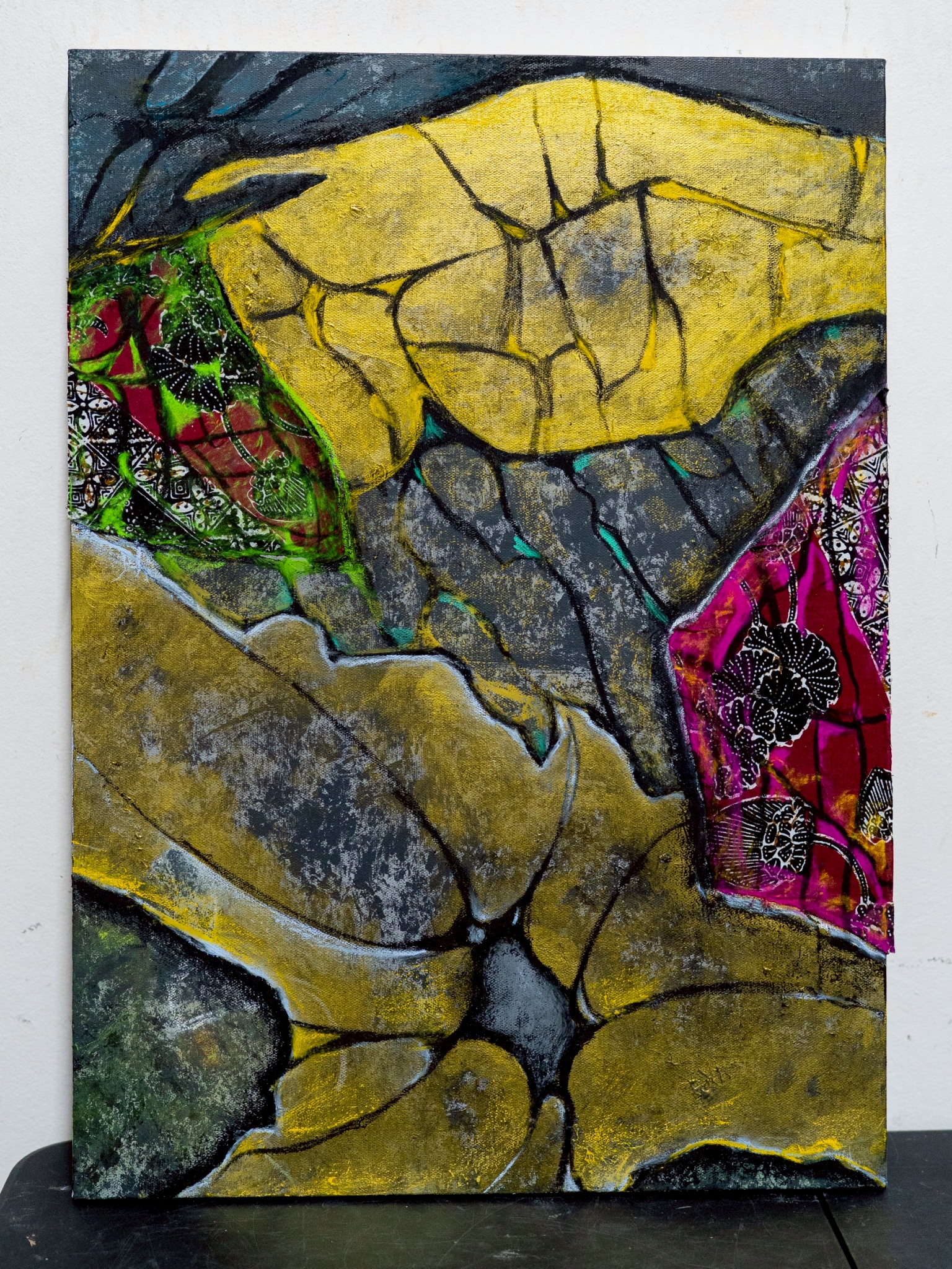
The abundance of the Malay States in the pre-colonial era stemmed from their strategic location, which connected trade routes between the Eastern and Western worlds. This positioned the Malay States as a central hub for the trade of spices, natural resources, and culture. The region boasted diverse marine, forest, and agricultural resources. This prosperity continually fostered economic, social, and cultural flourishing before the intervention of colonial powers. The regional designations such as Barat Daya (Southwest), Barat Laut (Northwest), Selatan (South), Tengah (Central), Tenggara (Southeast), Timur (East), and Utara (North).
This reflects how the past Patani society perceived and organized geographical space, primarily based on geographical directions. These designations used by the local people served to describe spatial positions and communicate the relationships among towns, communities, and transportation routes within the Malay State of Patani. Consequently, it reflects a spatial mindset intricately linked to topography, trade, and ways of life, rather than the modern state’s administrative boundaries. However, the term "Patani" itself is an exception.
This is because it can be assumed to refer to the original core area of the Patani State, which once served as the capital and the epicenter of political, economic, religious, and cultural power. This designation reflects a collective memory of past prosperity and reinforces the status of the area as the foundation of Patani society's identity. Overall, the geographical language of the Patani people is not merely a matter of identifying spatial locations; rather, it is a system of meaning that intertwines geography, power, and cultural identity together.